Day 2 workshop
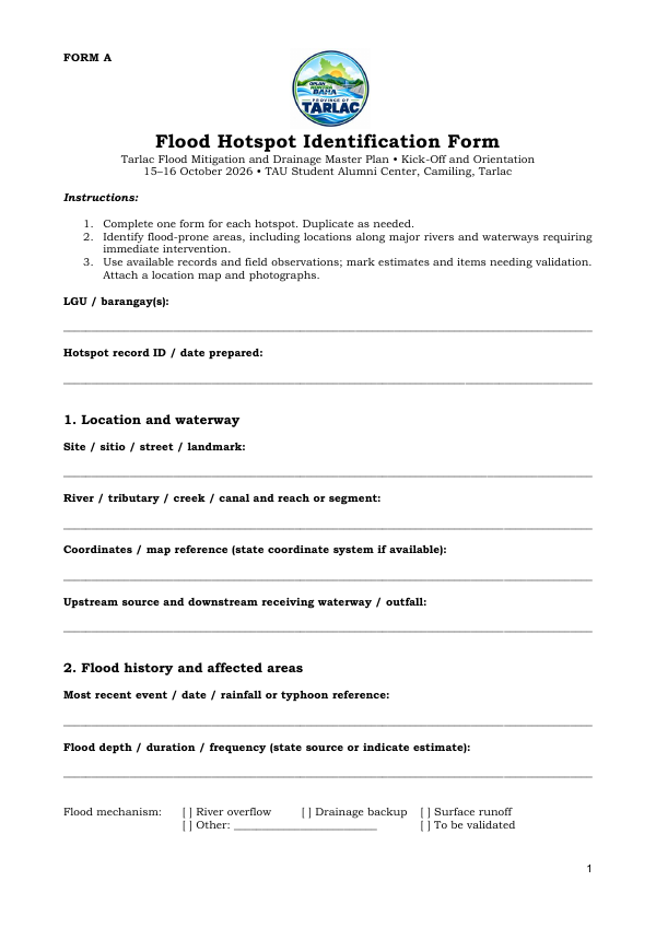
Form A: Flood Hotspot Identification
One record per flood hotspot: location and waterway, coordinates, flood history, mechanism and affected population.
Office of Rep. Jaime Eduardo Marc D. Cojuangco · 1st District of Tarlac
Comprehensive Science-based Flood Mitigation and Drainage Plan
Oplan Kontra Baha · Province of Tarlac
Blank forms for the Day 2 cluster workshops and the data inventory. Anyone can download these.
One record per flood hotspot: location and waterway, coordinates, flood history, mechanism and affected population.
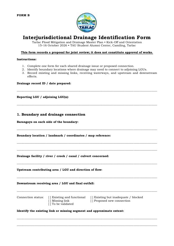
One record per drainage link that crosses an LGU boundary: reporting and adjoining LGU, connection status and issues.
The same 10 columns the portal fills in for every upload. Useful if you want to list your data offline first.